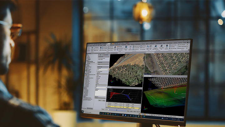
Robotic Total Stations
Advanced surveying & high-accuracy measurements
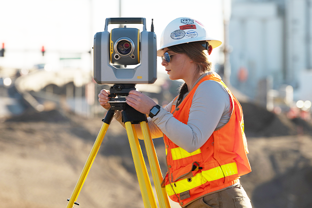
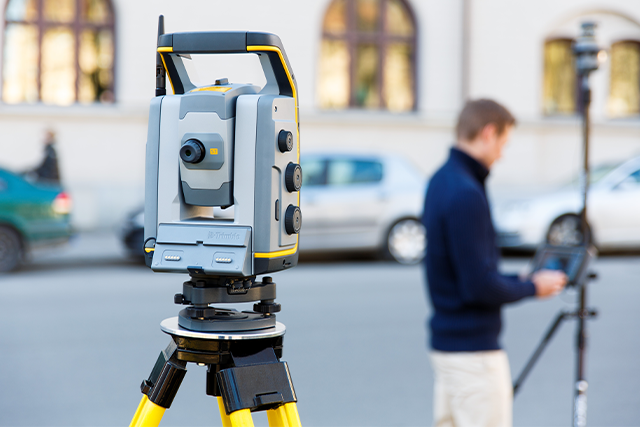
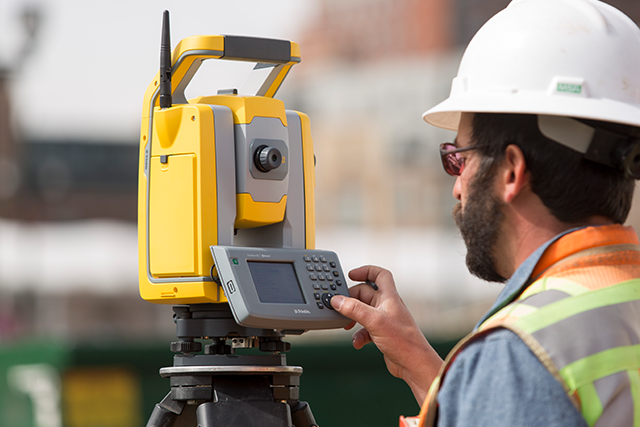
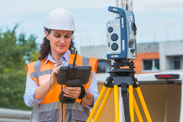
Robotic Total Stations provide precise, automated measurement of distances, angles, and positions—simplifying construction layout and land surveying.

Measure with Confidence
CSDS' comprehensive portfolio of Robotic Total Stations and accessories empowers land surveying, construction, and engineering professionals to streamline field operations with millimeter-level accuracy and efficiency.
Key Features:
- Automated Target Tracking: Eliminates the need for manual alignment, allowing a single operator to work more efficiently—reducing labor costs.
- Automated Target Identification: Allows the instrument to recognize, lock onto, and track a specific prism target, reducing time loss due to target reacquisition.
- One-Person Operation: Enables one-person surveying without compromising speed or accuracy, optimizing workforce efficiency.
- High Accuracy: Delivers millimeter-level accuracy with advanced electronic distance measurement (EDM) technology.
- Compatibility with GNSS: Combines total station and GNSS capabilities for superior performance in complex environments.
- Enhanced Safety: Reduces risks on construction sites and hazardous terrains by minimizing personnel exposure.
Applications:
Construction
Surveying
Infrastructure Development
Mining and Quarrying
Forensics and Accident Reconstruction
Robotic Total Station Survey Equipment
Automated, reliable, and cost-effective Robotic Total Stations for precision-driven project execution.
Featured Total Stations
Trimble SX12 Scanning/Robotic Total Station
Save time and maximize efficiency by combining innovative technology with intuitive functionality.
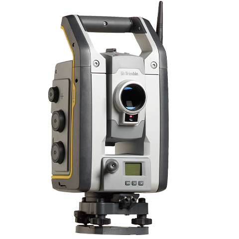
Trimble S9 1 Second Robotic Total Station - DR Plus + Long Range FineLock
Capable of tackling demanding infrastructure applications with optimal speed, accuracy and reliability.
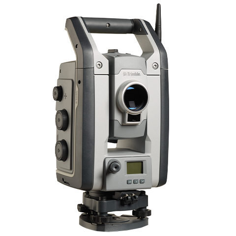
Trimble S7 Robotic Total Station
Maximizing your efficiency every day with single-user operation.
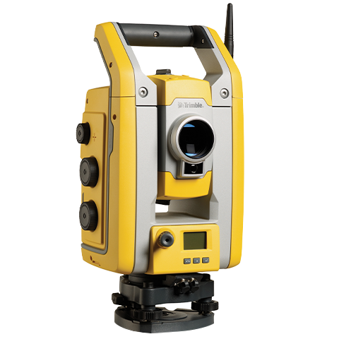
Trimble S5 Robotic Total Station
Efficient and dependable while maintaining high accuracy.
Spectra Focus 50 3-Second Robotic Bundle
Customizable to fit your needs.
Selecting the Right Robot Total Station
 |  |  |  | 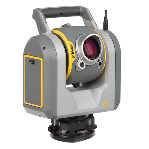 | 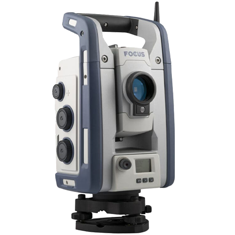 | |
| Instrument | Trimble S5 | Trimble S7 | Trimble S9 | Trimble S9 HP | Trimble SX12 | Spectra Focus 50 |
| Angular Accuracy | 1, 2, 3, or 5" | 1, 2, 3, or 5" | 0.5 or 1" | 0.5 or 1" | 1" | 1, 2, 3, or 5" |
| EDM Technology | DR Plus | DR Plus | DR Plus | DR HP | Lightning 3DM | Laser Class 1 |
| EDM Accuracy - Prism | 1.0 mm + 2 ppm (Prism) / 2.0 mm + 2 ppm (DR) | 1.0 mm + 2 ppm (Prism) / 2.0 mm + 2 ppm (DR) | 1.0 mm + 2 ppm (Prism) / 2.0 mm + 2 ppm (DR) | 0.8 mm + 1 ppm (Prism) / 3.0 mm + 2 ppm (DR) | 1 mm+ 1.5 ppm (Prism) / 2 mm + 1.5 ppm (DR) | 2 mm + 2 ppm (Prism) / 2 mm + 2 ppm (DR) |
| Prism Tracking Type | Passive, MultiTrack, Active Track 360 | Passive, MultiTrack, Active Track 360 | Passive, MultiTrack, Active Track 360 | Passive, MultiTrack, Active Track 360 | Passive | Passive |
| Additional Features | Tracklight | FineLock, VISION, SureScan | Finelock, Long Range FineLock, Tracklight, VISION, SureScan | Finelock, Long Range FineLock, Tracklight, VISION | VISION, Focusable Laser Pointer, Scanning, SurePoint, Plummet Camera, Target Illumination Light | Autolock |
 | |
| Instrument | Trimble S5 |
| Angular Accuracy | 1,2,3, or 5" |
| EDM Technology | DR Plus |
| EDM Accuracy - Prism | 1.0 mm + 2 ppm (Prism) / 2.0 mm + 2 ppm (DR) |
| Prism Tracking Type | Passive, MultiTrack, Active Track 360 |
| Additional Features | Tracklight |
 | |
| Instrument | Trimble S7 |
| Angular Accuracy | 1,2,3, or 5" |
| EDM Technology | DR Plus |
| EDM Accuracy - Prism | 1.0 mm + 2 ppm (Prism) / 2.0 mm + 2 ppm (DR) |
| Prism Tracking Type | Passive, MultiTrack, Active Track 360 |
| Additional Features | FineLock, VISION, SureScan |
 | |
| Instrument | Trimble S9 |
| Angular Accuracy | 0.5 or 1" |
| EDM Technology | DR Plus |
| EDM Accuracy - Prism | 1.0 mm + 2 ppm (Prism) / 2.0 mm + 2 ppm (DR) |
| Prism Tracking Type | Passive, MultiTrack, Active Track 360 |
| Additional Features | Finelock, Long Range FineLock, Tracklight, VISION, SureScan |
 | |
| Instrument | Trimble S9 HP |
| Angular Accuracy | 0.5 or 1" |
| EDM Technology | DR HP |
| EDM Accuracy - Prism | 0.8 mm + 1 ppm (Prism) / 3.0 mm + 2 ppm (DR) |
| Prism Tracking Type | Passive, MultiTrack, Active Track 360 |
| Additional Features | Finelock, Long Range FineLock, Tracklight, VISION |
 | |
| Instrument | Trimble SX12 |
| Angular Accuracy | 1” |
| EDM Technology | Lightning 3DM |
| EDM Accuracy - Prism | 1 mm + 1.5 ppm (Prism) / 2 mm + 1.5 ppm (DR) |
| Prism Tracking Type | Passive |
| Additional Features | VISION, Focusable Laser Pointer, Scanning, SurePoint, Plummet Camera, Target Illumination Light |
 | |
| Instrument | Spectra Focus 50 |
| Angular Accuracy | 1,2,3, or 5” |
| EDM Technology | Laser Class 1 |
| EDM Accuracy - Prism | 2 mm + 2 ppm (Prism) / 2 mm + 2 ppm (DR) |
| Prism Tracking Type | Passive |
| Additional Features | Autolock |
Featured Technologies
Tracklight
An LED visual aid that shows where the instrument is pointing, helping the prism operator quickly locate and lock onto the target.
FineLock
Accurately detects and locks onto a specific prism in environments where multiple reflective surfaces or prisms are present, ensuring consistent and reliable tracking.
VISION
Allows access to live video feed from the instrument’s onboard camera, letting users remotely view what the total station sees.
SureScan
Captures evenly spaced data points across a defined area for efficient 3D scanning (ideal for creating accurate surface models and topographic maps).
Focusable Laser Pointer
Projects a visible, adjustable laser dot to precisely mark locations, improving accuracy over varying distances.
Trimble Prisms: The Perfect Complement for Your Robotic Total Station
Trimble prisms provide precise and dependable vertical and horizontal angle measurements, boosting your total station’s capabilities.
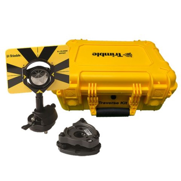
Traverse Kit
SKU #579909
Includes a case, traverse prism, prism base with level, optical plummets, and tribrach. Designed for height measurements and eliminates manual measuring when paired with S-Series or SX instruments.

Multi-Track Target
SKU #501024
Maintain precise target lock with Trimble Active Tracking technology and choose from 8 selectable channels. Can also function as a passive 360 prism.

Trimble 360 Prism Including Height Adapter
SKU #585862
Compatible with all optical instruments and GNSS receivers for integrated surveying. Features a built-in 5/8" thread with a leveling bubble and height adapter.

Trimble Prism 25mm Monitoring
SKU #517624
Compact 25mm monitoring prism, sold in a box of 25. Mounts horizontally or vertically. Prism constant: -17mm.
Total Station Accessories

Now Available!
Trimble Mini Prism Kit
The Trimble Mini Prism kit is designed for use with the Trimble S series, RTS series, SPS series, SX series, and Ri total stations.
It contains a 1" (25.4 mm) diameter prism with anti-reflective coating, rigid housing and 300 mm sectional poles, plus additional mini pole/pole adapter accessories for flexibility to meet the wide range of use cases.
Integrated Technology
Unlocking the Full Potential of Robotic Total Stations with Integrated Technology
A variety of technologies integrate with robotic total stations to extend its capabilities and improve accuracy, automation, and data analysis—including:
GNSS Systems
Deliver hybrid positioning by seamlessly switching between optical-based Robotic Total Station and satellite-based (GNSS) measurements, ensuring maximum accuracy in any environment or job site condition.
Drones (UAVs)
Pair total station and drone technology to enhance site surveying and monitoring using fixed ground control points for precise measuring and mapping.
GIS
Integrate robotic total stations with GIS to capture, manage, and analyze spatial data for smarter asset tracking, planning, and decision-making.

LiDAR
Combine high-density spatial data from LiDAR with Robotic Total Station georeferencing to produce detailed 3D models and digital twins for surveying, construction, and asset management.
Advanced Software Solutions
Leverage field-to-office software—like Trimble Access and Trimble Business Center—to enhance, capture, and analyze total station data.
Still have questions?


